 NERC Data Catalogue Service
Ground deformation
Type of resources
Topics
Keywords
Contact for the resource
Provided by
Years
Formats
Update frequencies
-
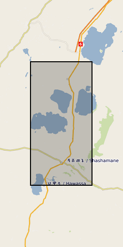
The RiftVolc GPS network was comprised of a total of 10 continuously recording stations deployed on Aluto and Corbetti Volcanoes between 2012 to present. At least 9 stations were recording data simultaneously except in 2012, 2016 and 2017 where 1, 8 and 5 stations were in operation respectively. Full details on station location and operation periods are provided in the attached README file.
-

This data set contains daily position solutions for GPS stations deployed on Corbetti and Aluto volcano, Ethiopia. The results for Aluto were originally published in "Seasonal patterns of seismicity and deformation at the Alutu geothermal reservoir, Ethiopia, induced by hydrological loading", Birhanu et. al. (2018). Corbetti results were partially published in "Sustained Uplift at a Continental Rift Caldera", Lloyd et al. (2018).
-
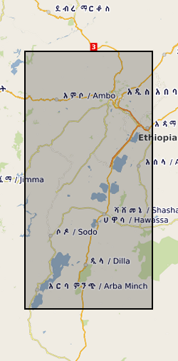
This data set contains a set of 226 unwrapped, geocoded interferograms derived from InSAR scenes processed over Corbetti Volcano, Ethiopia. The data were assembled from multiple sensors and processed using either the ICSE or GAMMA software package. The images presented here are generally not the same size as the raw InSAR images but instead are cropped to the extents of the volcano and its immediate environs.